


Denver to Boulder Day 1
Union Station to Broomfield.

I've been wanting to do a multiday walk for a while now. If one day of walking is good, two days would be twice as good. Plus I could travel further, see more things, and get a sense of what a multiday walk in America. So I decided to walk to Boulder from Denver.
This is the first of several posts about that experence. The first two posts will cover where I went and what I noticed, should you want to do something like this yourself. The third will be more of a reflection.
Planning
While visiting the family in Colorado over Christmas, I decided to take a few days and go on a long walk After toying with a few possible destinations I decided that walking from Denver to Boulder made the most sense. It was about the right distance 30 miles, said google maps, long enough to require at least two days. I knew people who biked this so figured it would have bike paths and not require too much car dodging. I liked the idea of heading towards the mountains, and thought the open space at the end would provide a nice little hiking element.
Once the overall route was established, I needed to figure out the details. The starting point was Denver's Union station. This broke my own 'start where you are' rule, but was necessary for the scheduling to work out. For an end point I picked the Boulder Courthouse on the Pearl Street Mall, Boulder's pedestrian street. I liked the idea of walking from Denver's 16th street pedestrian mall, to Boulder's Pearl Street pedestrian Mall.
I normally don't plan my walks in great detail beforehand, instead preferring to improvise and go with the flow, but this one required more care. This was driven by distance. Google maps gave a distance of 27.7 miles, however this route pretty much ran directly next to US 36, which sounded like a terrible way to spend two days of a vacation. I figured I would plan a longer, and hopefully more pleasant route. I estimated it would be about 30 miles. While I try to do a 15-20 mile walk about once a week, two in a row would be the most walking I had ever done. I also would be walking through almost entirely unfamiliar territory, so I didn't want a detour or getting lost to add to the distance.
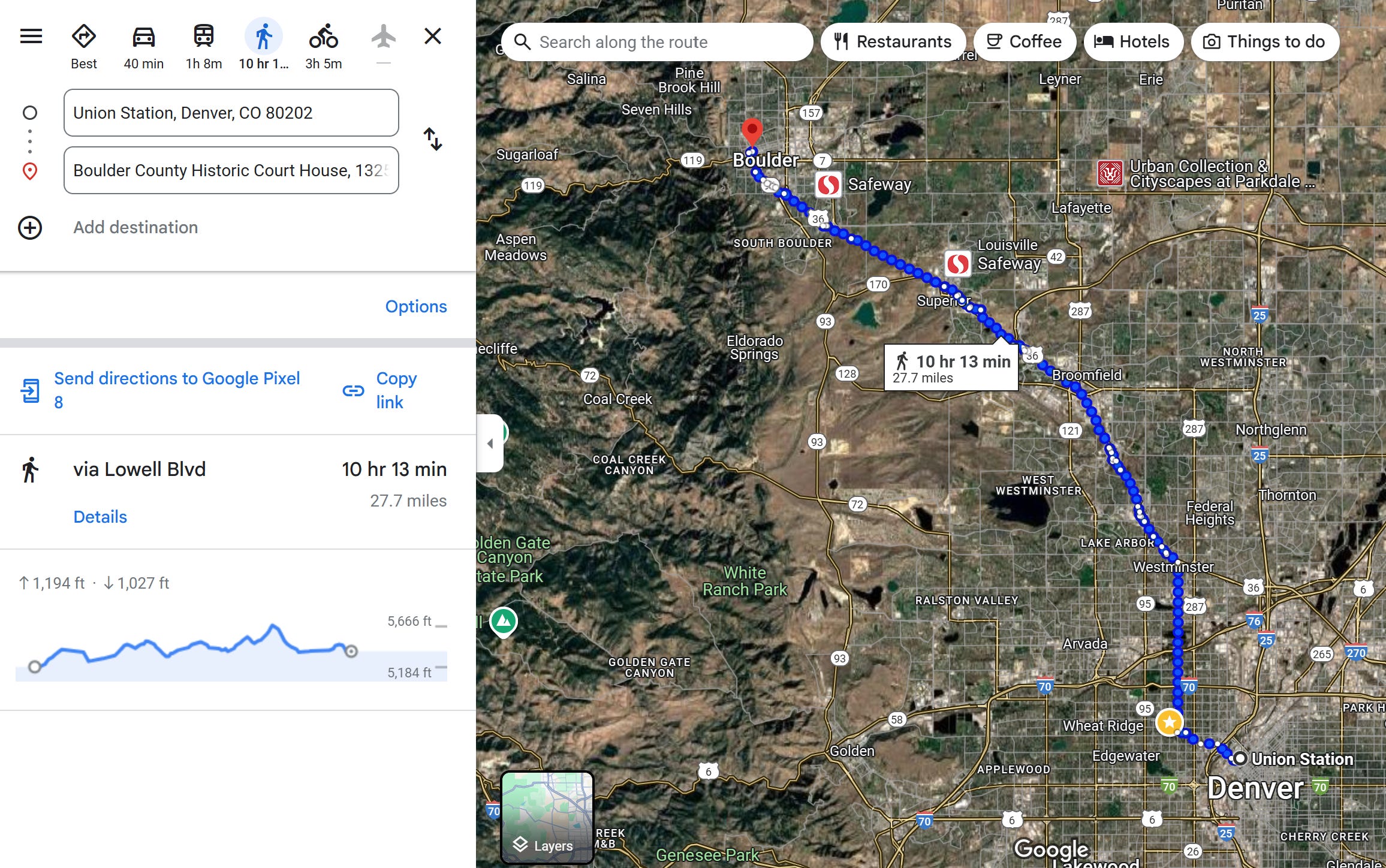
Planning the route was therefore involved. I had to find crosswalks, places to cross major highways (I-70, I-76, and I-25) and train tracks. It took me a good part of an afternoon to plan it out, saving waypoints to GAIA GPS. Figuring it would be easier to do a longer first day and a shorter second day, I reserved a hotel room in Broomfield, slightly over halfway.
The Walk
On the day of the walk the alarm went off at 5:55 am. Not because I was leaping out of bed early to start walking, but because I was nowhere near the starting point. I was in Grand Lake, in the mountains, not particularly close to Denver. After a car ride, a ride in an airport shuttle, and the train from the airport, I arrived at the starting point promptly around 11am. I wasn't exactly starting with fresh legs, the family had spent the previous days cross country skiing and my legs had noticed. My normal weekend long walks often are liberating from a week largely spent inside staring at screens. After a week in the Colorado mountains, some of spring in the step was absent.
With me, I had my backpack, with its normal items. For this long walk, I had added a toothbrush, toothpaste, deodorant, and extra pair of good socks, a change of underwear, and a t-shirt, and thats it. I had taken care to make sure my devices were charged, but aside from that carried nothing special.
Union Station/Three bridges/Highlands
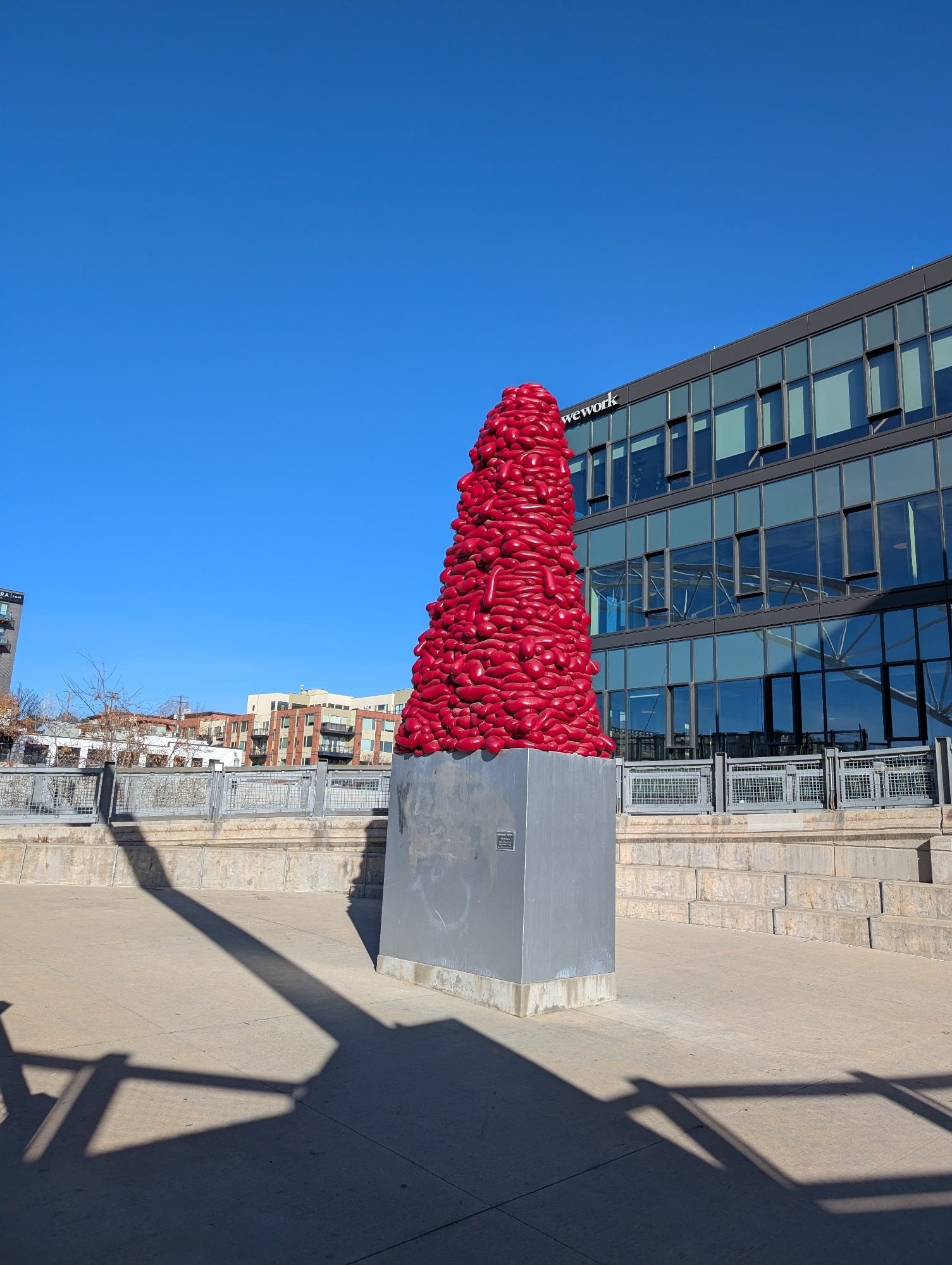
I was anxious. It was already nearly midday, and I was hoping to get to the overnight stop in Broomfield before it got too dark. After a brief stop for coffee, I headed west out of downtown, through confluence park, past the worst public art in the world and over I-25.
When I was growing up the family we would sometimes take the 'three bridges walk' which would take advantage of the recently extended 16th street mall and take the three bridges, crossing the train tracks, the South Platte river, and I-25. In my youth this seemed a bit of a project, but the three bridges are all in about a half mile, and I was very quickly out of Highlands and into uncharted territory.
Phantom Denver
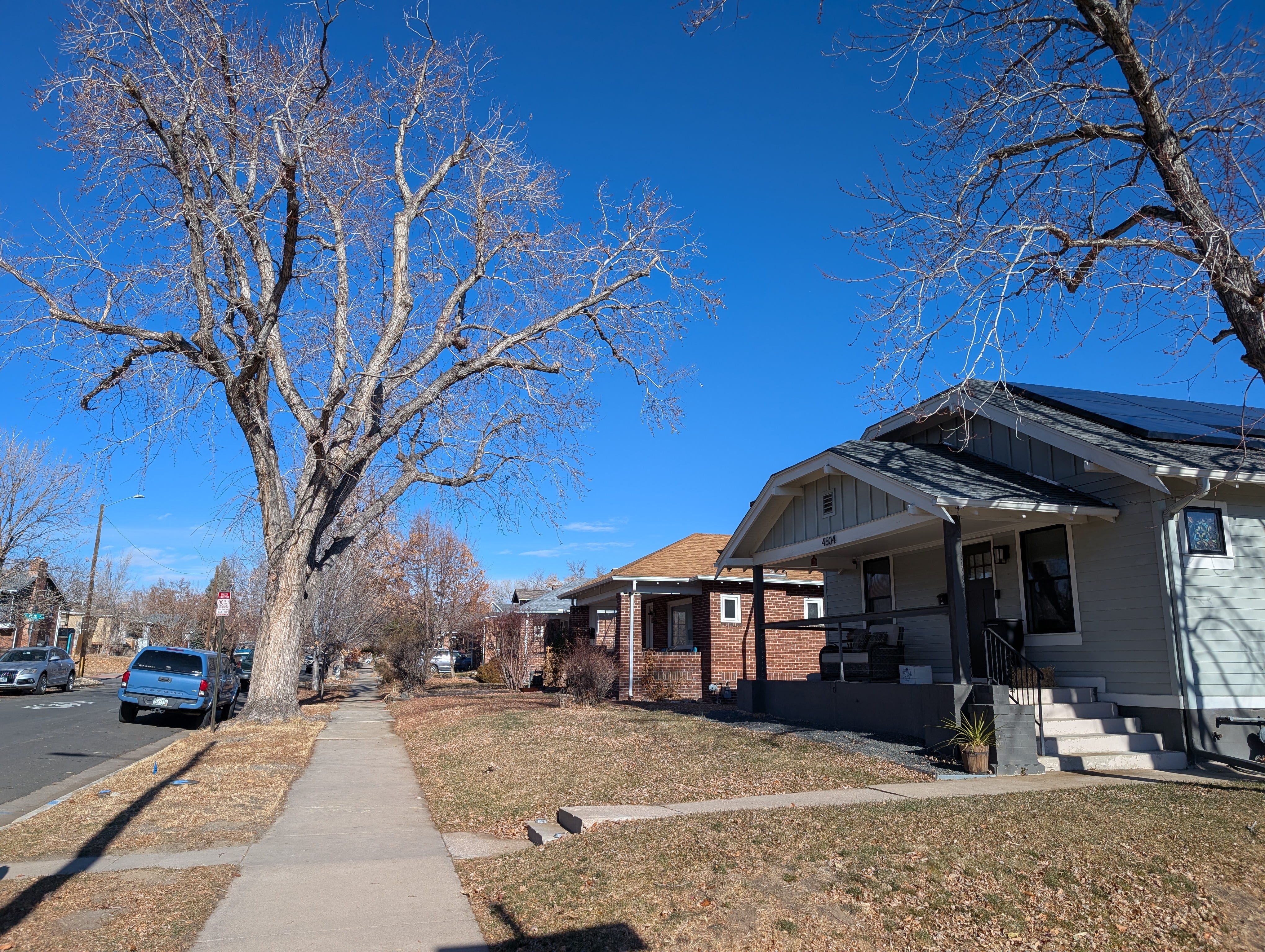
Even though I grew up in Denver, I rarely ventured west of downtown so nearly all of this walk was going to be new to me. And within a mile I was on a street I had never been before. It did not feel unfamiliar however. The bungalow style neighborhood mirrored the one I grew up in. I thought of it as 'Phantom Denver' completely familiar, yet unknown.
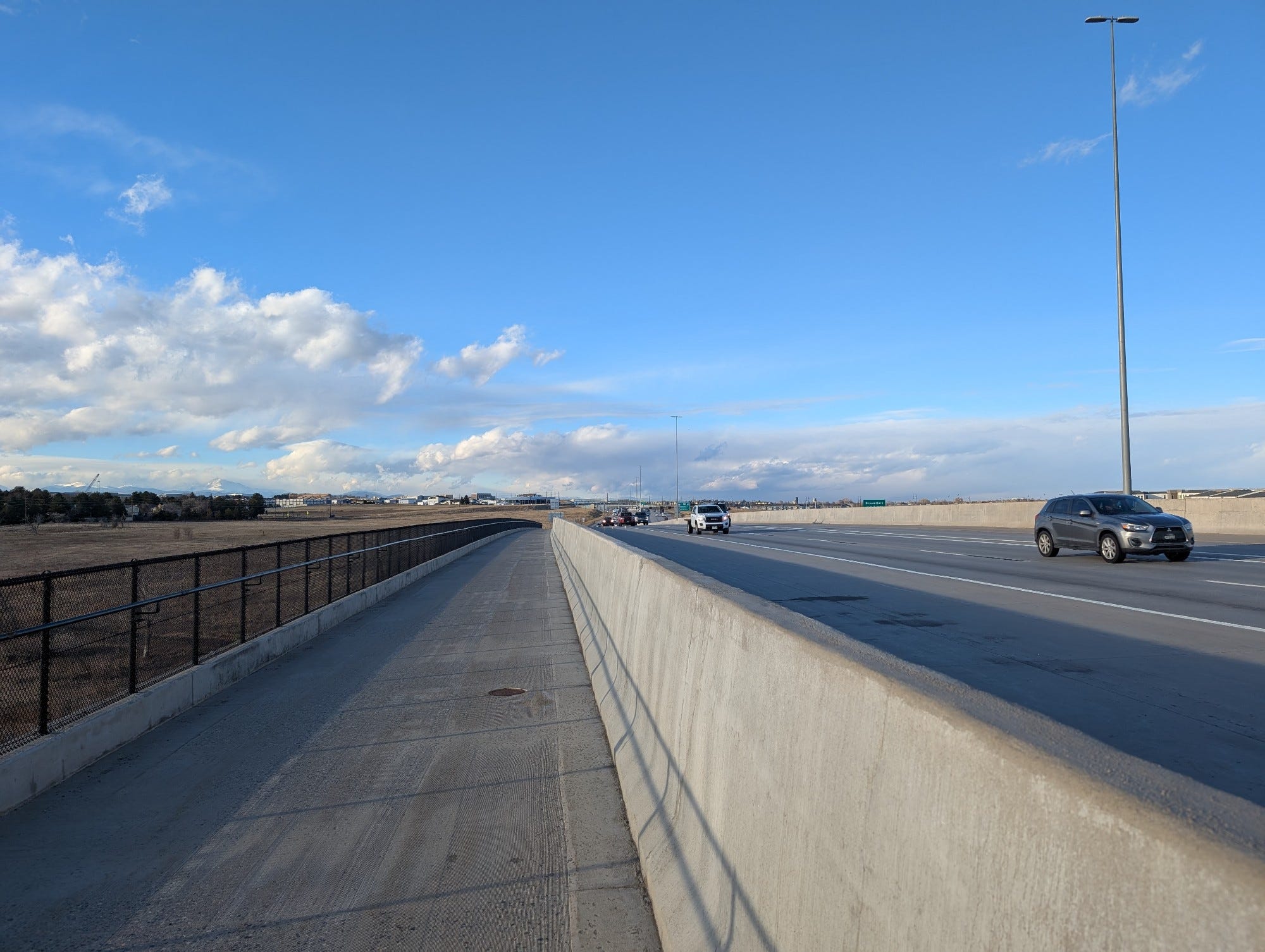
Highway crossings. I-76 and I-70.
One of the challenges in planning a long walk through a urban environment, is dealing with the barriers: highways are the most significant, but train tracks and rivers matter as well. These act like urban walls, and the walker must seek out openings and crossings in order to pass through them.
On this trip the major highway crossings were all near the beginning of the walk. I-25 was dealt with quickly and aesthetically, with the last of the three bridges.1 The other two major highways, I-76 and I-70, dictated my route. I crossed both of them using Lowell Boulevard. Underpasses, and the areas surrounding major highways are often not that nice to walk though, depending on preferences for concrete and car noise. When I planned my route, I imagined this would be the least pleasant section. It turned out to be fine though, there was an extra wide sidewalk, and I passed by several parks and several somewhat odd small lake things.
I walked through Regis University campus and, without noticing, left the City of Denver. I had been looking forward for my walk to be periodically marked with signs welcoming me to the different cities I would pass through (Denver, Arvada, Westminster, Broomfield, Superior, Boulder). There weren't any though, which is a shame. General awareness of local government is poor, and a sign mentioning where each local government starts seems about the lowest hanging fruit imaginable.
Little Dry Creek Disappoints
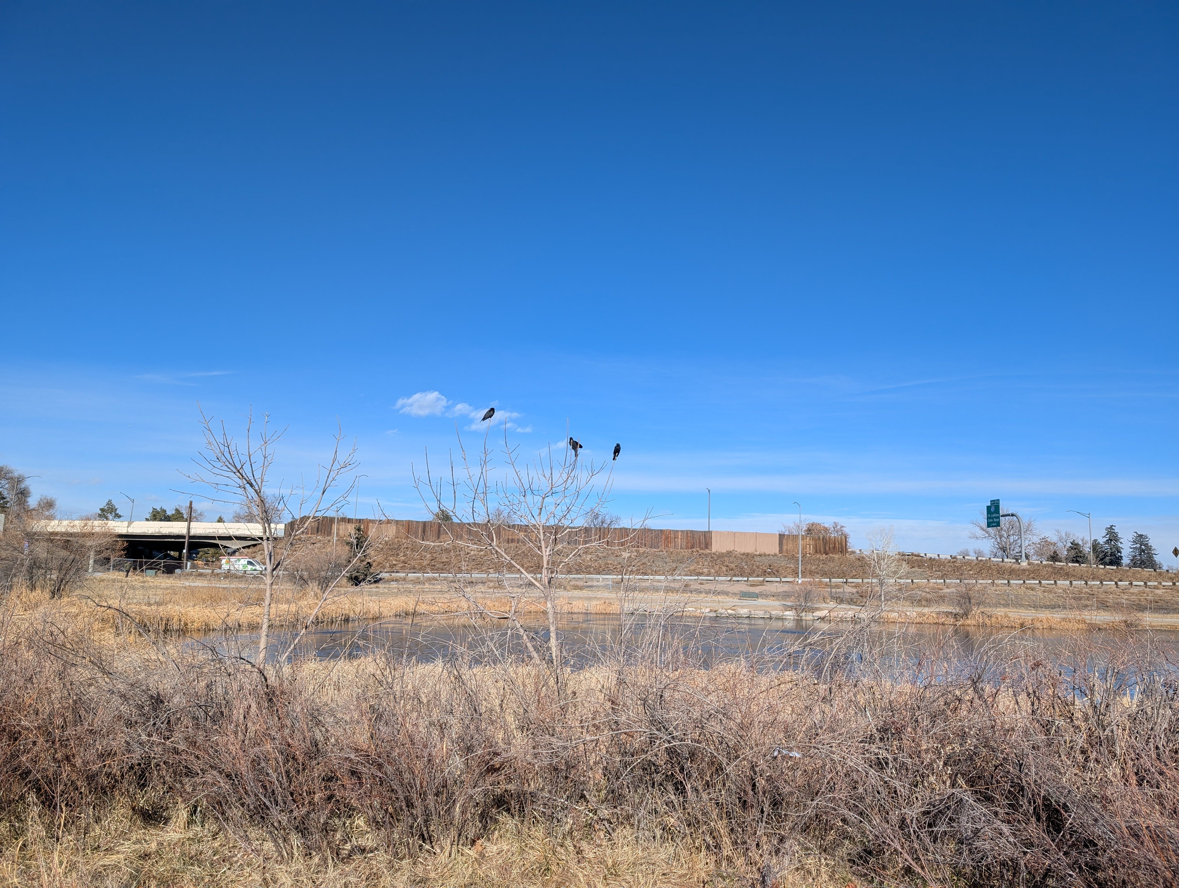
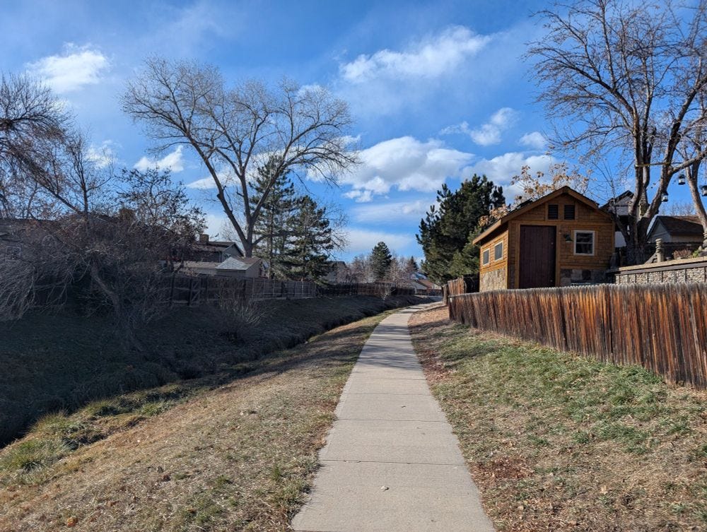
I reached the Little Dry Creek Trail with a light heart, I had navigated the highways without trouble, and was looking forward to my first path of the trip. The Little Dry Creek path started well, I passed a park and a family enjoying the sunshine. However it wasn't long before the path became a concrete ditch. Maybe it was just my expectations, but I found this stretch unpleasent. Looking up I could mostly see beat up chain link fences and the backs of homes. There was a real sense of being trapped, exasperated when the walls later become vertical, which gave true 'rat in a maze' vibes.
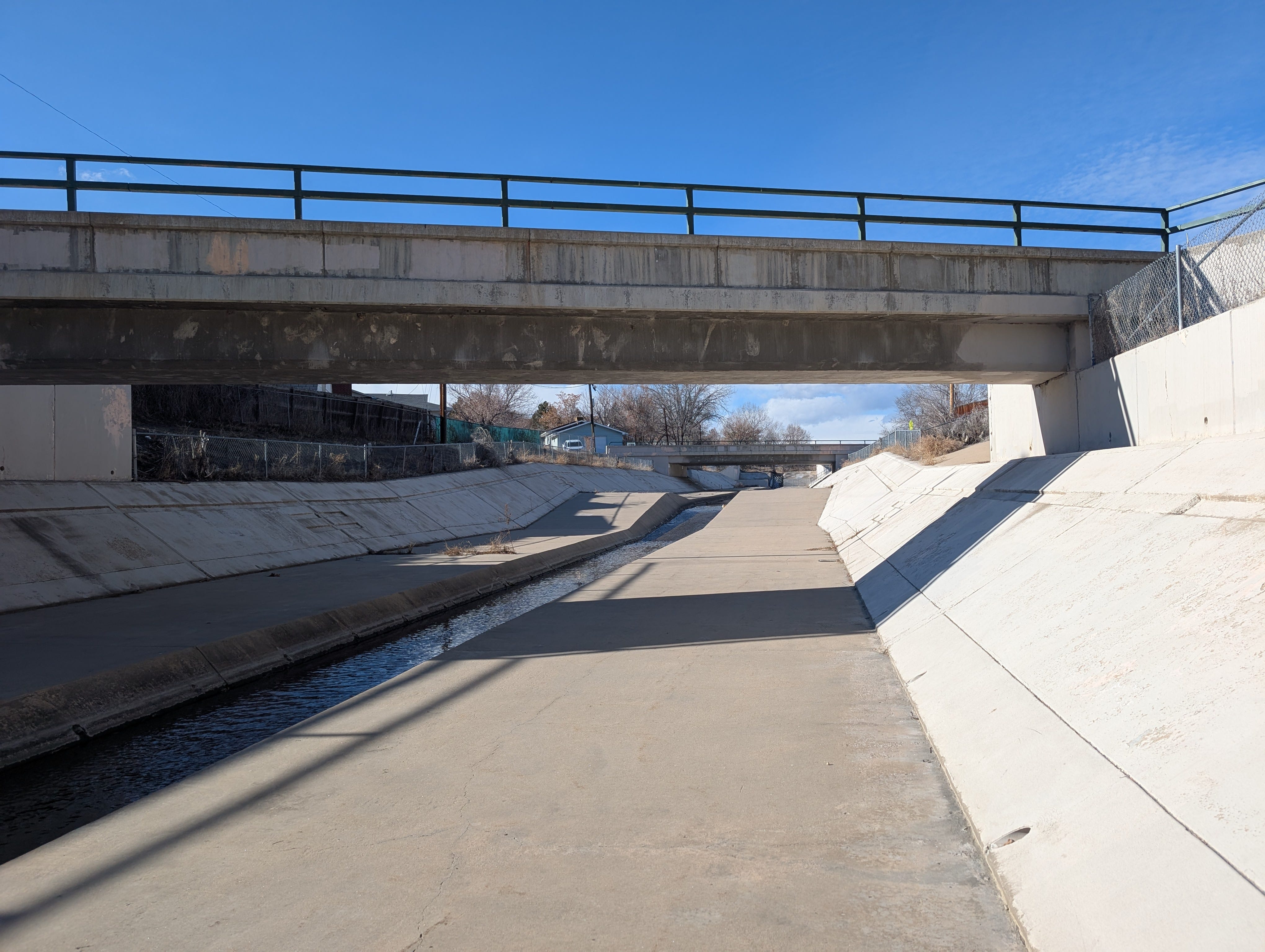
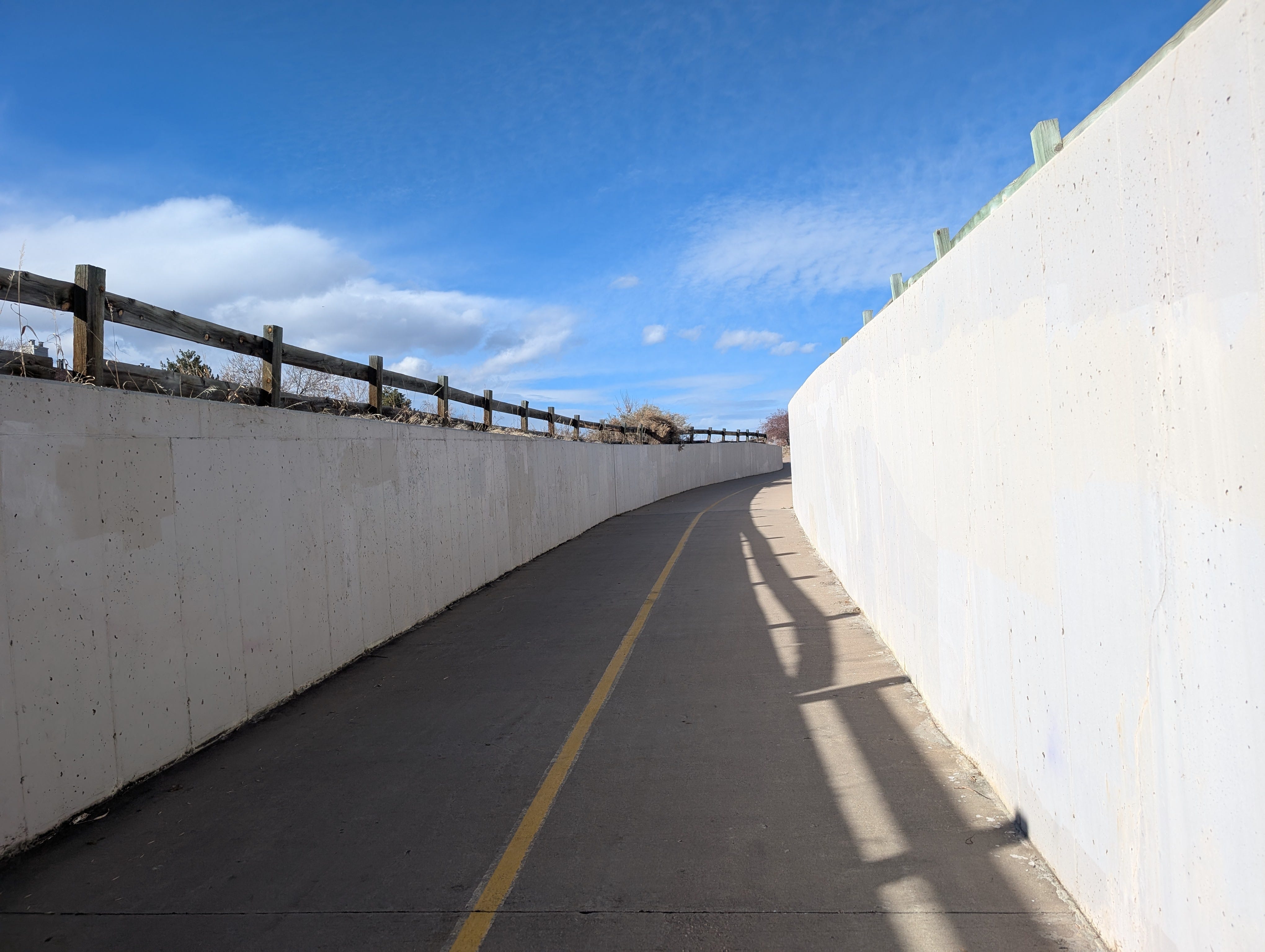
These concrete sections were mixed with open areas, which were much better. It was odd, emerging from the rat maze sections, into openness and sunshine, and then back into a grungy tunnel. It my least favorite part of the whole walk, and maybe my least favorite path experence in total.
The much more pleasant backyard paths of Westminster
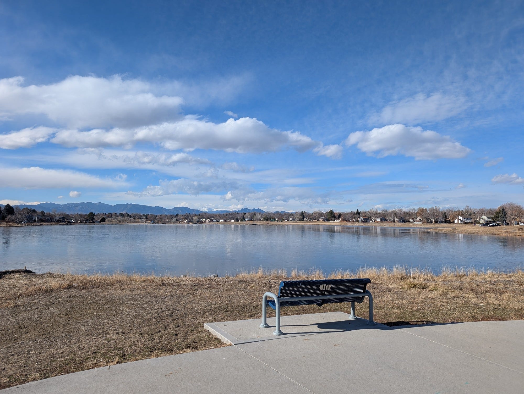
After a couple of miles I left Little Dry Creek, crossed 80th street, and rested briefly at the #benchoftheday at Arbor Lake.
I was in Westminster now, and things felt more classically suburban and also more affluent. I settled in, got lunch, and put on a podcast.
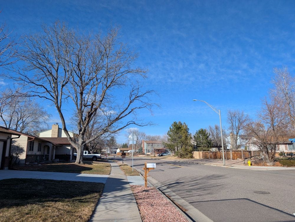
This section was a mix of suburban sidewalks and backyard paths. I like backyard paths, which provide a quiet and occasionally more direct way to walk through suburbia. Depending on fencing you can see into people's backyards, which are less curated than front yards, and therefore more insightful.
Open space, parking lots, faux urbanism, and a coffee.
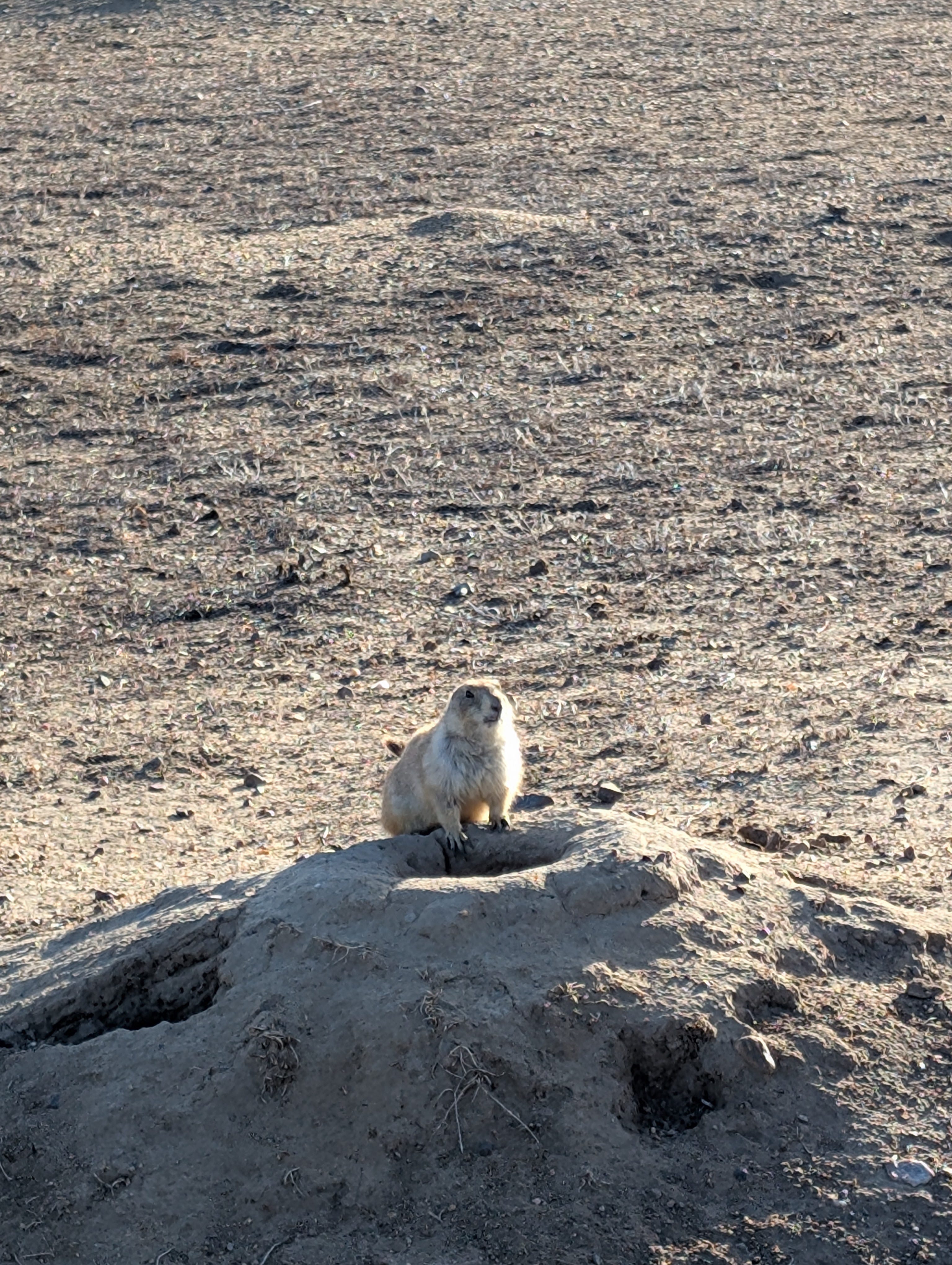
As I approached US-36, I diverted from my planned route for the first time to hit a small stretch of open space. On the Colorado high planes in December this means scrubland with prairie dogs. The lack of trees means you can see all around. This isn't a good thing, as the view is the highway and surrounding hotels and office parks, but there are mountain views and a classic Colorado blue sky, so its not all bad.
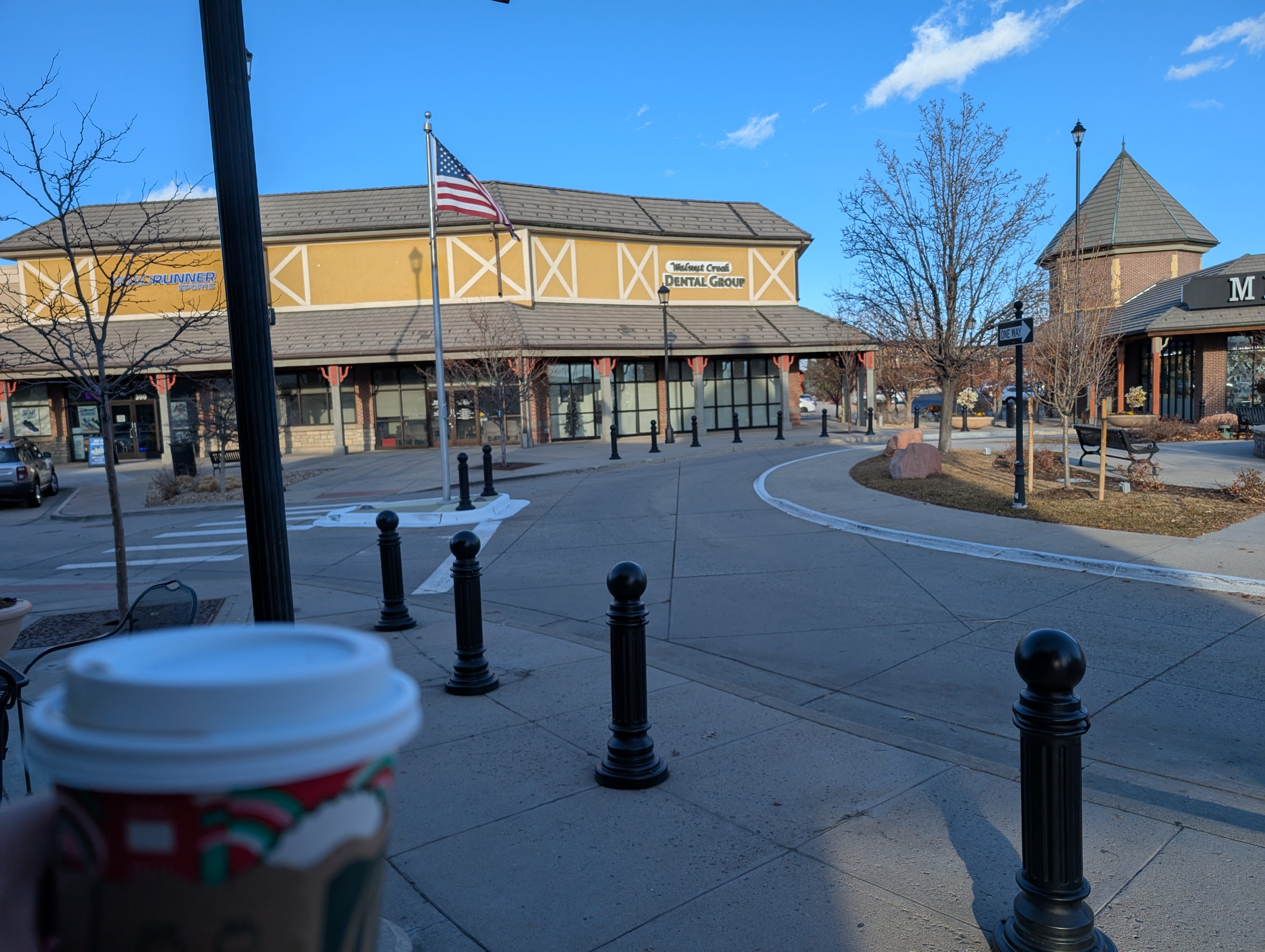
Walking often involves dramatic changes in environment, and I experienced one now as I transitioned from prairie dogs into the parking lots surrounding a shopping area called The Shops at Walnut Creek. Parking lots enveloped box stores, which surrounded a couple of blocks of a sort of faux main street called Town Center Drive. Parking lots aren't so bad to walk through, and Town Center drive was nice in a mostly fictional sort of way, if short and completely disconnected from the outside world. I got a coffee at Starbucks and strolled along.
The US 36 Bikeway. An unpleasent necessity.
There is a bike path that runs largely parallel to the Boulder Turnpike, that I could have taken for long sections of this walk. I had decided to avoid it, on the grounds that it would be dull. For this next section I though I couldn't find a better option. The path runs along US 36, separated by a concrete barrier. I've gotten reasonably comfortable about walking near cars, but cars moving at 70mph provide a more visceral experence than those going 40. There is more noise, more shaking when a truck goes by. You notice just how much space is covered when a car changes lanes at highway speeds.
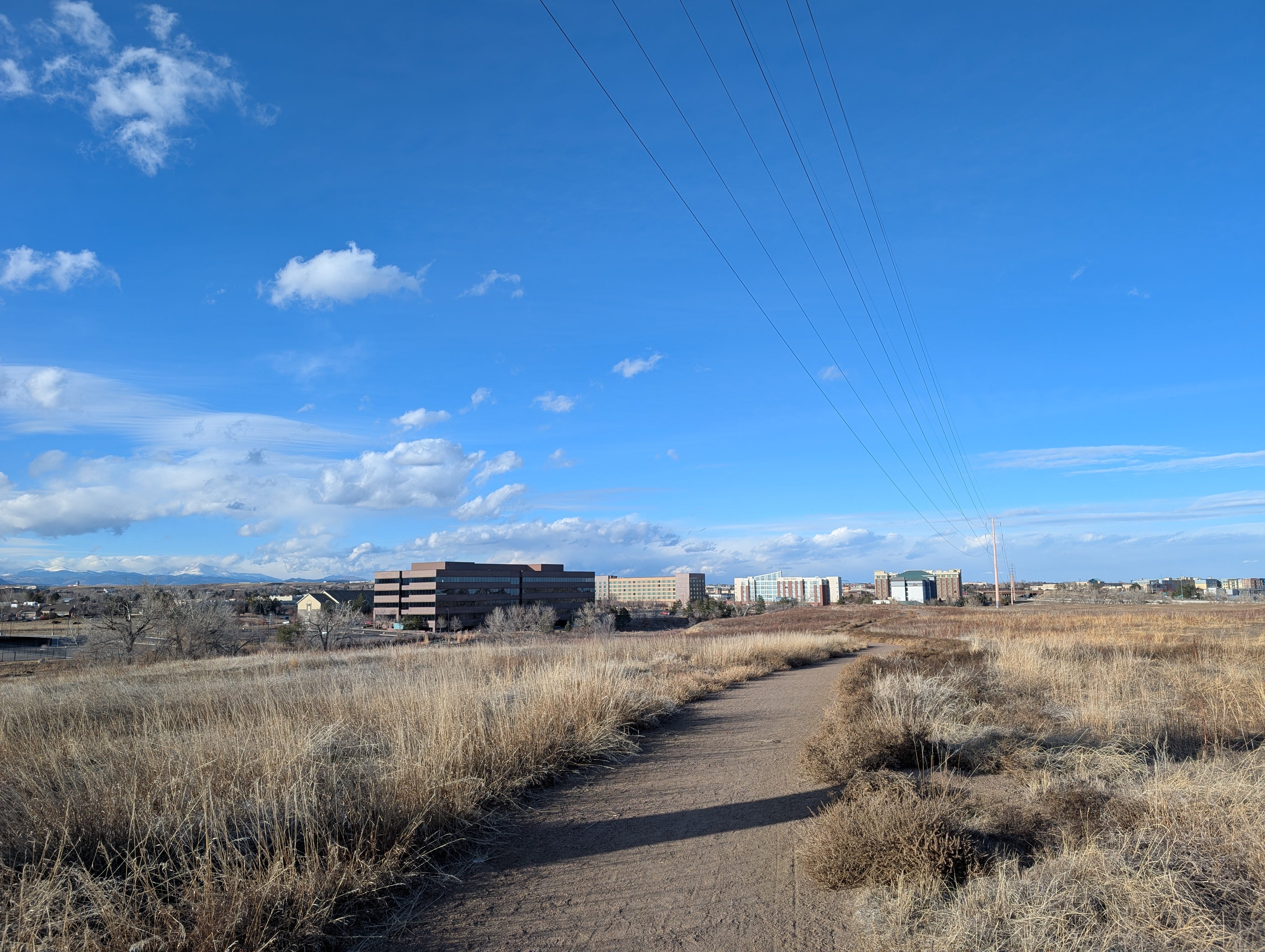
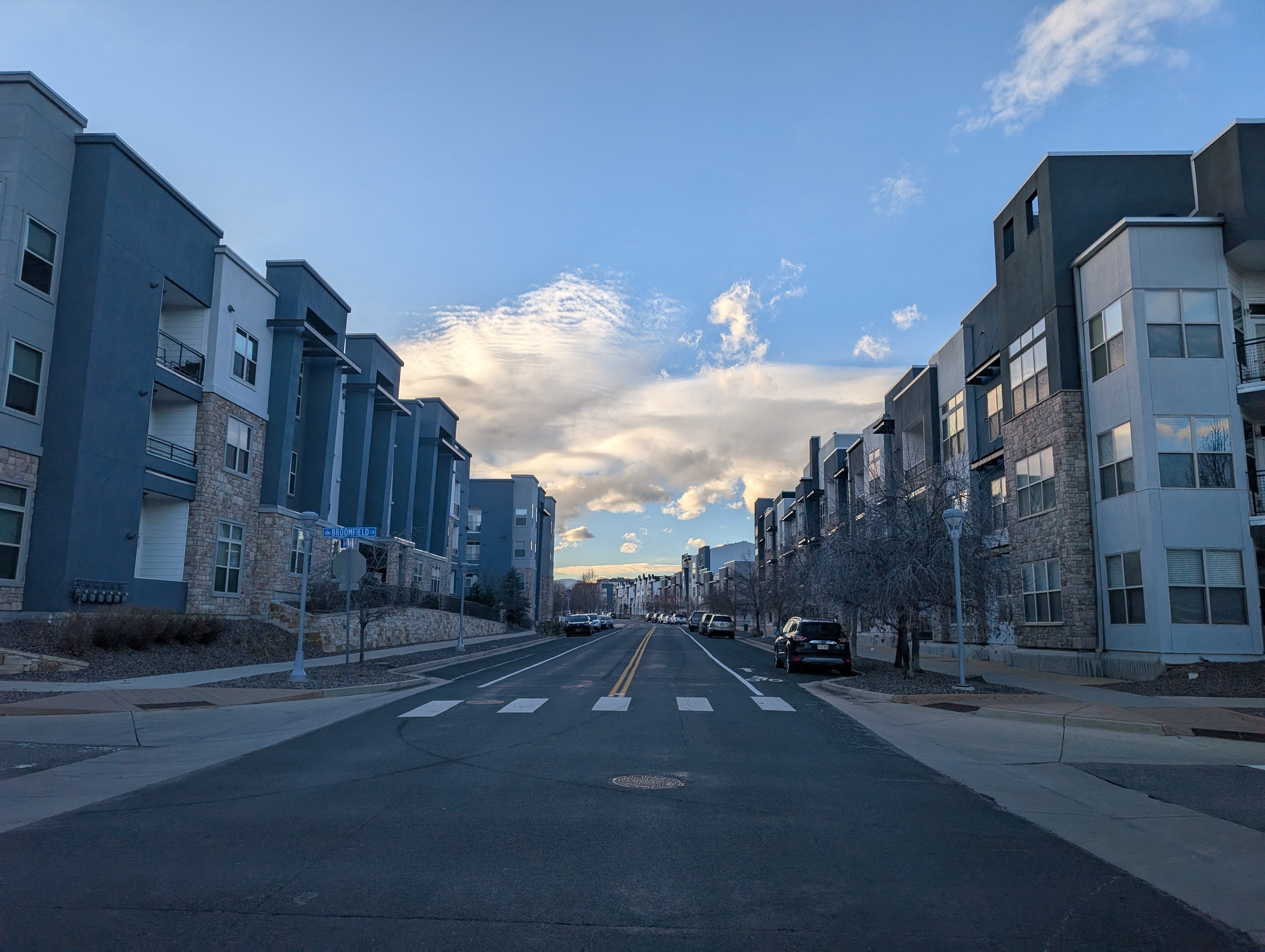
The Unconnected Density of Arista
I had reached the part of Suburbia that was still being filled in. Walking through new developments always feels a bit weird, the newness feels sterile, but also clean, novel and interesting. I walked through an area called Arista, which as far as I could tell consisted entirely of modern, square, townhomes and multifamily housing. It was odd, after being amongst suburban single family homes for so long to suddenly be surrounded by so much multifamily.
Its places like this where you can see developers trying to include walkability as an amenity. The Arista website opens with a picture of the flatiron flyer (the Denver to Boulder Bus), and notes that "Dining, shopping, parks, entertainment, and the aloft Hotel are all within walking distance." I missed it in my walk but looking at Google Streetview there is a mixed use 'main street' (fortunatly not called 'main street') with angled parking and ground floor retail.
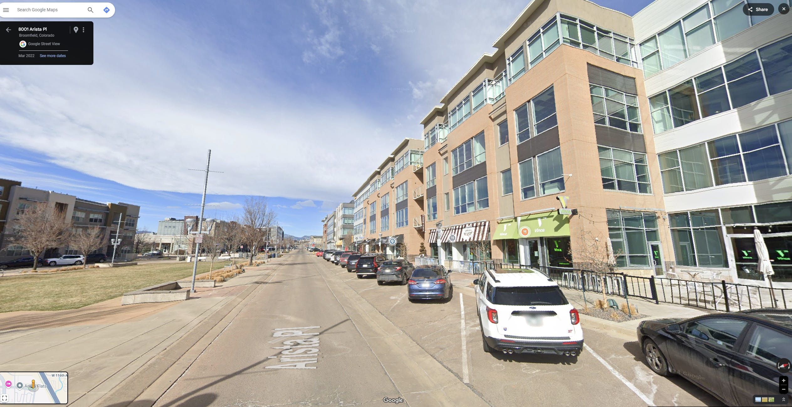
I'm a big fan of density and multifamily housing, and Arista seemed like a nice enough place. I couldn’t quite warm to it however, though I did arrive there about 4:30 in the afternoon, when no place is at its best. Maybe it was just how I arrived to it but it seemed unconnected to anything. A better path connection than the 36 bikeway would help. They are still building it, so maybe it will integrate a little better over time.
I hope it works out, the mixed use, more dense, form of suburban development is better than nearly anywhere else I walked through. The success of these modern mixed use main streets seems far from certain. I remember a walk I took the Englewood light rail station, which is surrounded by several blocks of fairly new, mixed use, ground floor retail. Nearly all of which had 'for lease' signs.
Interlocken
The last stretch of the day was Interlocken. Interlocken is a sort of super office park. Major companies have headquarters or offices there, including Vail Resorts, and Oracle. There is a golf course and a fancy hotel. The sidewalks here had path elements. They did not directly follow the street, and had gentle curves and more landscaping than the typically sidewalk. There ought to be a name for these, if you know one, let me know. I like them, mostly because being a few feet further from the street makes a big difference.
End of Day 1.
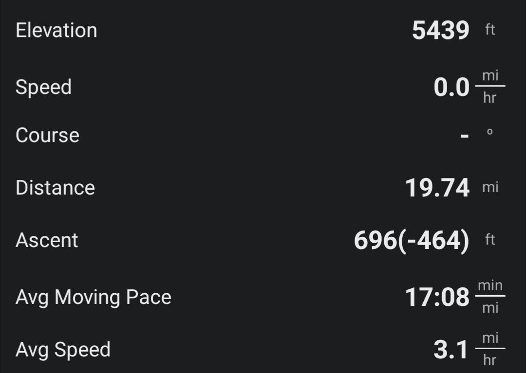
I had walked nearly 20 miles, which is a lot for me, but made it to the hotel before it got too dark. Normally at the end of a long walk I come home to Miriam and the cat, plus a change of clothes, and a blue Powerade mixed with sparking water. Here though, I arrived at a hotel room with nearly nothing. In order to save weight, I hadn't brought a laptop, or any of the normal things I might bring on a trip. I showered, changed my socks, and put on the t-shirt, and eventually willed my tired feet to a pizza restaurant a few blocks away for dinner. I had hoped this would be a somewhat triumphant dinner, but I felt far away and isolated. I was maybe a 25 minute drive from my family, but having walked all day to get here, it seemed a vast distance.
In many ways it had been easier than expected. My navigation worked perfectly, I never got lost. I had been on sidewalks and paths for basically the whole time and never had any trouble crossing a street. My feet and legs were tired, but not horrifically so, and I was more than halfway there, so I was confident I could make Boulder tomorow.
Day 1 Route.

(GPX files are available to subscribers on request)
Part two to follow.
Happy Walking!
-Chris
Pedestrian bridges sometimes get criticism from urbanists, as car infrastructure disguised as walking infrastructure, but the pedestrian bridge over I-25, not only is aesthetic and about as pleasant as a bridge over a highway can be. But essentially expanded downtown Denver into highlands. Its great.